


West Mountain (not the ski hill) is a former fire tower peak, but even without the steel structure it offers good views from its partially open summit. West Mountain is within the Pigeon Lake Wilderness Area.
Key takeaways
- Distance: 9.4 miles round trip
- Elevation gain: 1,870 feet round trip
- Elevation: 2,902 feet
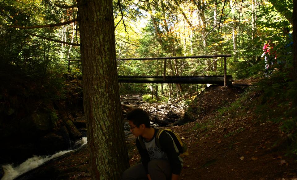
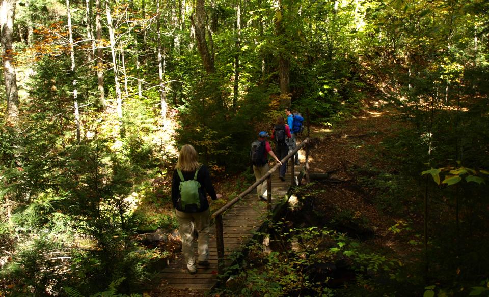
- Hike includes trail junctions, water crossings, and bridges
Hiking to West Mountain
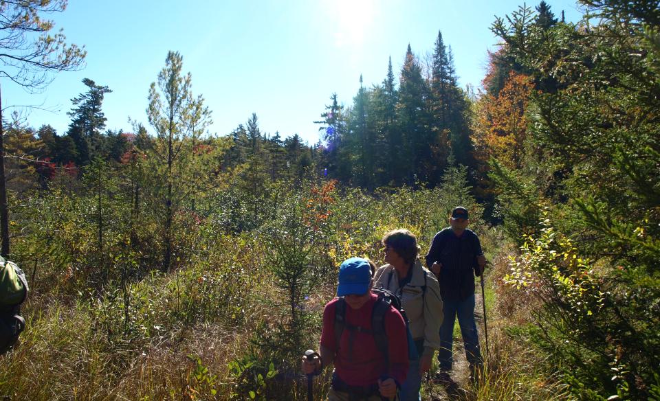
From the trailhead you will drop slightly into an open hardwood forest on a blue-marked trail that is quite narrow and a bit overgrown in areas. There are a couple of wet crossings before you reach the Sucker Brook Bay Trail at around 1.4 miles in. At this intersection take a right and follow an old woods road that is in excellent condition and easy walking. You will pass through a grassy area then quickly back into the woods. At 2 miles the West Mountain Trail turns left as the Sucker Brook Bay Trail heads straight 400 feet to the shore of Raquette Lake at the head of Sucker Brook Bay. You will also pass by several other side trails, be sure to stay on the main trail. Another trail to Raquette Lake (the lake) will come in on the right.
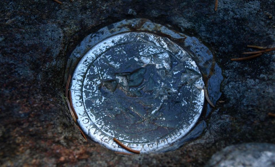
At 4.0 miles the ascent becomes steep as you begin the true climb of West. The trail reaches a grassy clearing at 4.7 miles at the former observer's cabin foundation. One last short steep climb takes you to the summit. The West Mountain Trail ends at the summit, where a view to the southeast features Raquette Lake.
West Mountain in the winter
This is a challenging winter climb due mainly to its lack of use. West gets very little snowshoeing attention and it would require the hiker to break many miles of trail. This trail could be skied in parts, but the upper portion is not recommended for cross-country skiing. If you decide to do this, make sure you are experienced, physically fit, and are prepared for all winter conditions.
Experience more trails
Does West Mountain sound amazing, but a little more than you want to tackle right now? With hundreds of miles of trails, we can help you find the right hike in the big outdoors.
How to get there
From the intersection of Route 28 and County Route 2 in Raquette Lake follow County Route 2 into the Village of Raquette Lake. Continue through the village and take a left onto Brown's Tract Road. Follow here for 0.6 miles or so to the trailhead on the right. This trailhead is a bit obscure, but a small sign on a tree marks its location.