


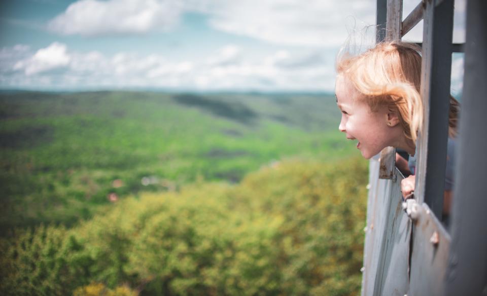


Kane Mountain's 60-foot fire tower was constructed in 1925, restored in 2003, and offers great views of Canada Lake in the southern Adirondacks. Two different trails lead to the summit, giving hikers the opportunity to do a loop or just a simple out-and-back hike.
Although Kane Mountain is outside Hamilton County, its location makes it a fine destination for those in Piseco or Arietta. Plus, it's a very scenic drive down Route 10 from Piseco, so the trip is definitely worth it.
Key takeaways
- Distance: 2.1 miles
- Elevation gain: 625 feet
- Hike includes trail junctions
- Based on a clockwise loop hike
Hiking Kane Mountain
This hike has a few options for how to do it, but described is taking the East Trail up, and the North Trail down.
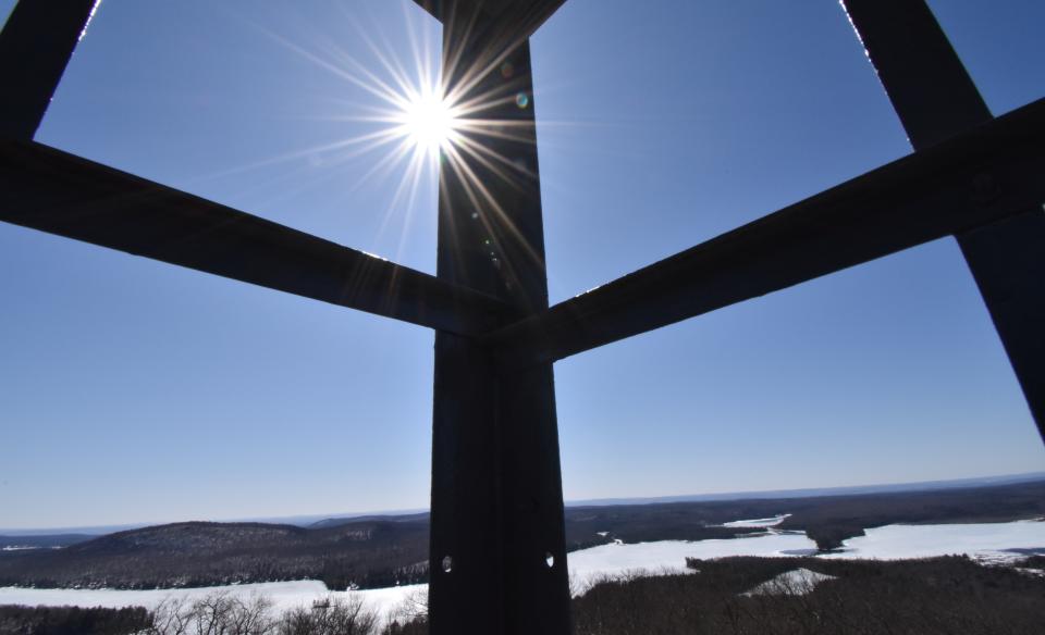
The shorter East Trail begins climbing immediately. Its layout follows an old jeep road, but is moderately graded, gaining just over 600 feet of elevation in less than a mile. Even though this hike is off the beaten path, it’s well used. For the first 0.6 miles, the trail twists and turns through an attractive forest of mature hardwoods. It straightens out after 0.6 miles and as it approaches the summit, it becomes level, passing by the old observer’s cabin. The fire tower is just through the trees. The summit has no views, except for if you climb the fire tower. On a clear day, the Catskills can be seen from the top.
Taking the North Trail down, it gets a tad rocky and muddy in areas. After around 0.7 miles from the summit, you'll bear right at an intersection. From here, it's another 0.7 miles to your car.
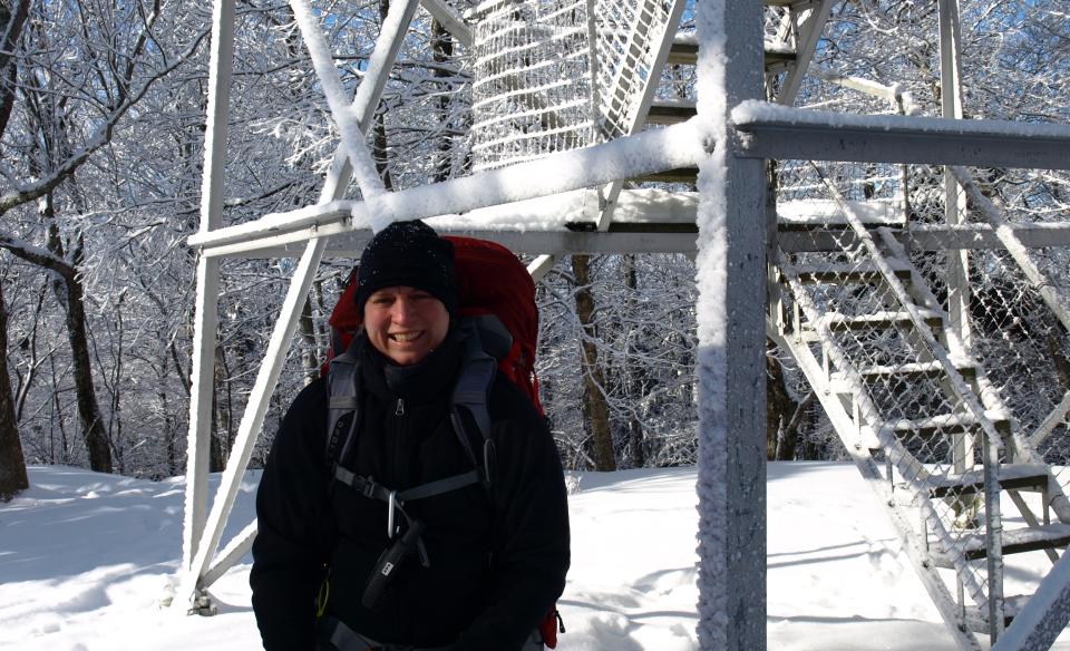
Kane Mountain in winter
The short dirt road to the trailhead may or may not be plowed adequately for many cars in winter; park in a safe location.
Due to the rocky terrain, microspikes are highly recommended when the trail is icy or snowy. This would be an excellent beginner snowshoe hike, but may not be suited for cross-country skiing. Make sure to be prepared for all winter conditions.
Experience more trails
Does Kane Mountain sound amazing, but a little more than you want to tackle right now? With hundreds of miles of trails, we can help you find the right hike in the big outdoors.
How to get there
From the intersection of Route 8 and Route 10 in Piseco, follow Route 10 south toward Pine Lake. Just under 2 miles past Pine Lake, take a left onto Green Lake Road. Then, drive Green Lake Road to the trailhead, which will be on the left.
*NOTE: the old trail leading from Schoolhouse Road has been closed. Please only use the access off Green Lake Road.*