


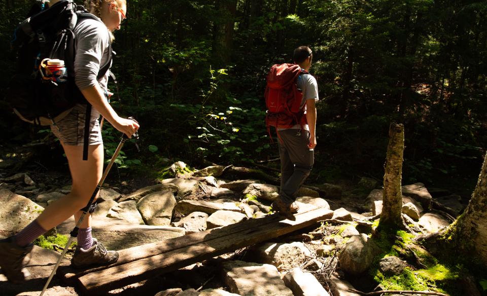

This mostly flat trail takes you through gorgeous, open hardwood forest. The paths lead quickly to a detour for Grass Pond and later to Lower and Upper Sargent Ponds. A four season destination, you're sure to find a quiet trailhead and easy hike no matter when you go.
Key takeaways
- Distance: 4.8 miles round trip
- Elevation gain: 370 feet
- Hike includes trail junctions
- Based on a hike to the lean-to and back the way you came
Hiking to Lower Sargent Pond
This trail is part of a much longer loop with Upper Sargent Pond and Grass Pond. From the trailhead you will remain on a very flat course and quickly come to Grass Pond which can be seen just slightly off the trail. The shore cannot easily be reached during most seasons.
As you move past the pond you remain on a mostly flat grade before a slight descent brings you to a major intersection. Straight will bring you around the loop to Upper Sargent Pond; right brings you to Lower Sargent Pond. Then a left will bring you over to the lean-to location on this heart shaped pond, where you can have a nice place to relax for lunch.
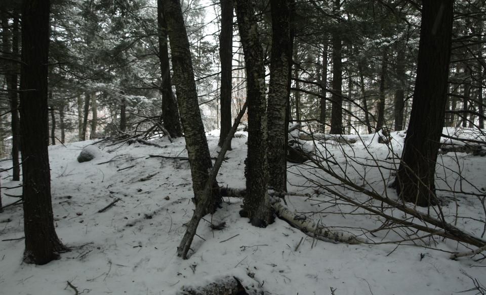
Lower Sargent Pond in the winter
This is a mixed-use trail in the winter, with snowmobiles sharing the trail with snowshoers and cross-country skiers. Snowmobiling isn't too popular here, so you'll likely be by yourself if you are snowshoeing or cross-country skiing. Some of the water crossings might be a bit difficult during the shoulder seasons. Make sure to be prepared for all winter conditions.
Hiking over a frozen body of water can access you to areas not seen by most in the summer. With that being said it is a dangerous activity to cross frozen water bodies and should be done with care and respect for your environment. Know the ice conditions and be prepared for anything including heavy winds, snow drifts, whiteouts, slushy conditions, and thin ice.
Experience more trails in Hamilton County
Looking to find some more trails to hike in Hamilton County? With hundreds of miles of trails, we can help you find more amazing hikes in the big outdoors.
Fishing
Shoreline fishing is decent as there are many herd paths to choose from that lead to great openings along the shore. Near the lean-to which is a bit further along the path, there is a really good spot to cast your line - especially in the evening hours. A fish ladder is at the northeast shore. This is a great pond for bullhead fishing, especially if you plan to make a weekend out of it.
Cartop only, but requires a carry of 2.4 miles to reach the shore of Lower Sargent Pond. The 30 foot depth of this pond has very few features making the trout a bit tougher to catch, but they are there.
Fish species types: brook trout, bullhead, panfish
Special regulations: Always follow state fishing regulations and be sure to pick up a NYS Freshwater Fishing Guide at your local outfitters or regional NYSDEC office.
How to get there
You can find these two trailheads off the Forked Lake Road in Long Lake. Start at the three corners in Long Lake drive south toward Blue Mountain Lake on Route 28N/30. North Point Road will be on the right, in 3.0 miles – drive down North Point Road. There will be a fork in the road a few miles in; right leads to Forked Lake Campsite, left to the trailheads. Continue 4.6 miles to the trailhead on the left.
