Snowy is one of the more demanding hikes in Hamilton County, and is also part of Hamilton County’s Adirondack Fire Tower Hiking Challenge. Its steep trail and rugged terrain will make you earn every bit of this mountain's elevation. At 3,899 feet in elevation, Snowy Mountain is just shy of being an Adirondack High Peak. Though tough, it is a very popular destination. A successful hike of Snowy Mountain involves research, physical fitness, the right gear, and knowledge of Leave No Trace principles.
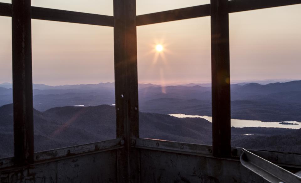
In 1909, a fire observation station was established on Snowy Mountain. The steel structure standing today was built in 1917.
Key takeaways
- Distance: 7.8 miles round trip
- Elevation gain: 2,180 feet
- Mountain elevation: 3,899 feet
- Hike includes water crossings
Hiking Snowy Mountain
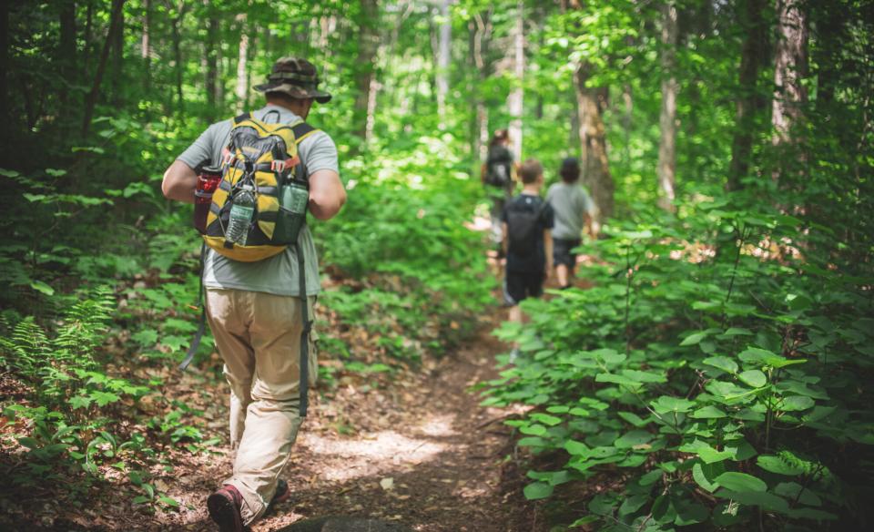
From the trailhead, it starts out mellow, gaining about 270 feet in elevation over the first 1.2 miles. You will soon start to hear Beaver Brook to your right and then eventually see it. You’ll cross the water, but the brook crossing may be confusing so pay careful attention to not stray from the path. After crossing the brook, the trail becomes steeper before mellowing out again before once again crossing Beaver Brook.
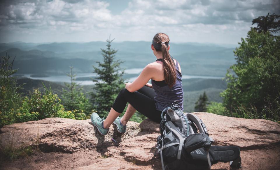
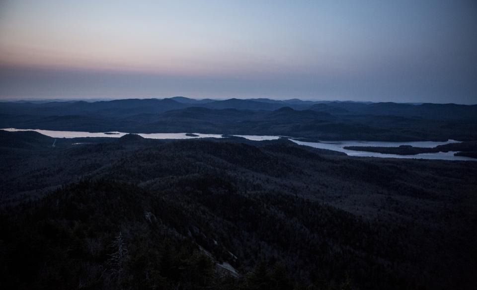
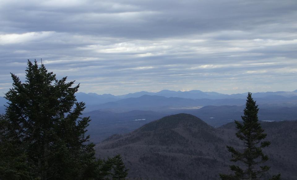
The terrain gets steeper as you go and only lets up on occasion. As you near the top, you will come to a very steep section with tough footing and then a plateau area. At 3.2 miles, to the right you can walk out to a tall ledge and have an outstanding overlook, but be very careful here, especially with young children. The trail continues past the plateau and very steeply climbs to the true summit where the fire tower sits.
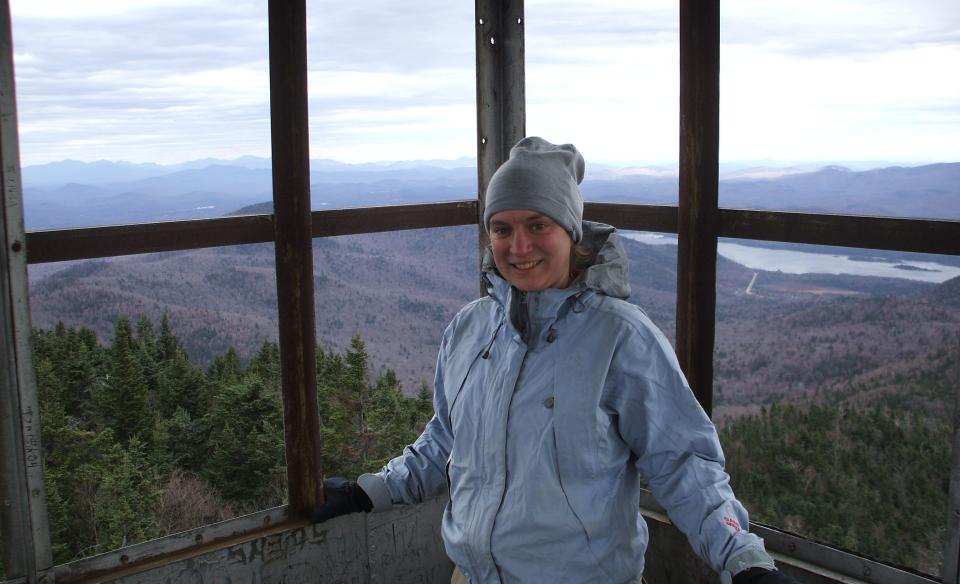
There is no view from the summit floor; you will need to climb the tower to get any decent views. From the tower, you can see the High Peaks on a clear day. Blue Mountain sits due north.
Snowy Mountain in winter
Parking and trailhead location do not change in winter, and it is accessible.
This is a great snowshoe if you are looking for a challenge, but is not recommended for beginners. Due to terrain, the trail is not recommended for cross-country skiing. While packed out regularly and rather quickly after a good snowstorm, the steep terrain still makes this a tough winter ascent. Microspikes should be carried for the steeper sections, and be prepared for all winter conditions.
Experience more trails in Hamilton County
Does Snowy Mountain sound amazing, but a little more than you want to tackle right now? With hundreds of miles of trails, we can help you find the right hike in the big outdoors.
How to get there
From the intersection of Route 28 and Route 30 in Indian Lake, follow Route 30 toward Speculator. Continue for just over 7 miles to the trailhead on the right; parking is on the left and the trailhead is on the opposite side of the road.

