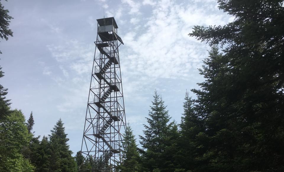
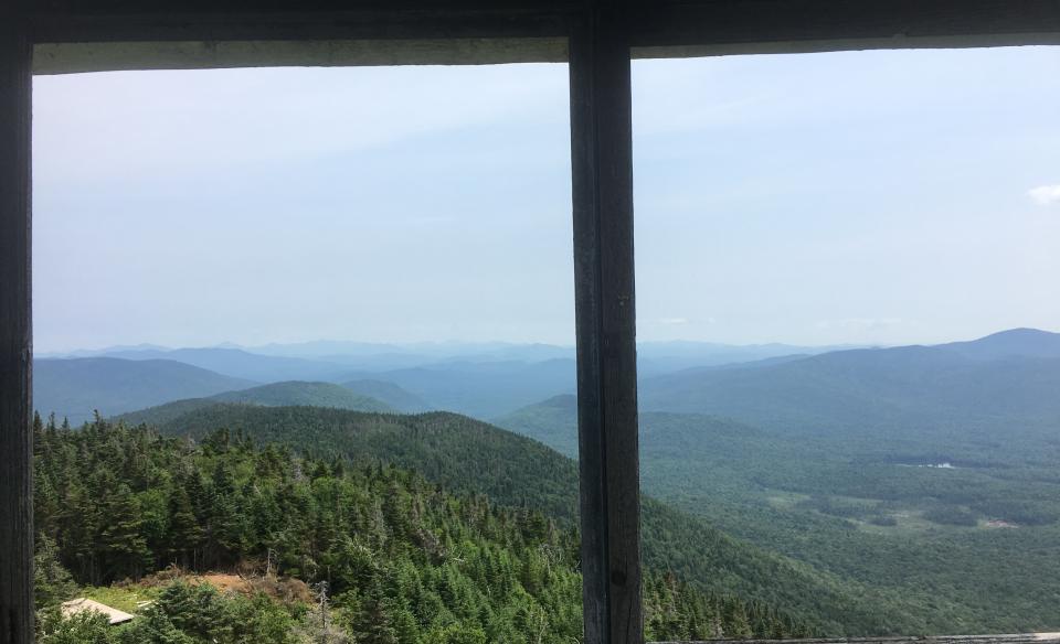
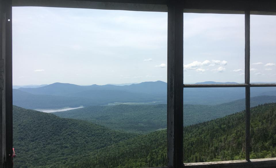
Wakely Mountain’s 70-foot tower is one of the highest in New York state, and the tower stairs afford an excellent view of the West Canada Lakes Wilderness to the south and great views of the High Peaks to the north on clear days.
Wakely Mountain is part of the Hamilton County Fire Tower Challenge. A fire observation station was established on Wakely Mountain in 1911. Originally, it was a wooden structure and was replaced by the steel one standing today in 1916. It was one of the first 10 steel fire towers to be built in the Adirondacks.
Key takeaways
- Distance: 5.8 miles round trip
- Elevation gain: 1,680 feet
- Mountain elevation: 3,750 feet
- Hike includes a bridge, water crossings, and trail junctions
Hiking Wakely Mountain
The trail to Wakely’s summit has two distinct sections. The first 2 miles involve hiking on an old dirt road. Markers may be infrequent, but the path is not hard to follow. Briefly, you will see the summit at 0.3 miles. The trail crosses streams and parallels the water for 1.9 miles. Don’t worry; none of the crossings are challenging. There is even a bridge over one of the streams at 1.1 miles.
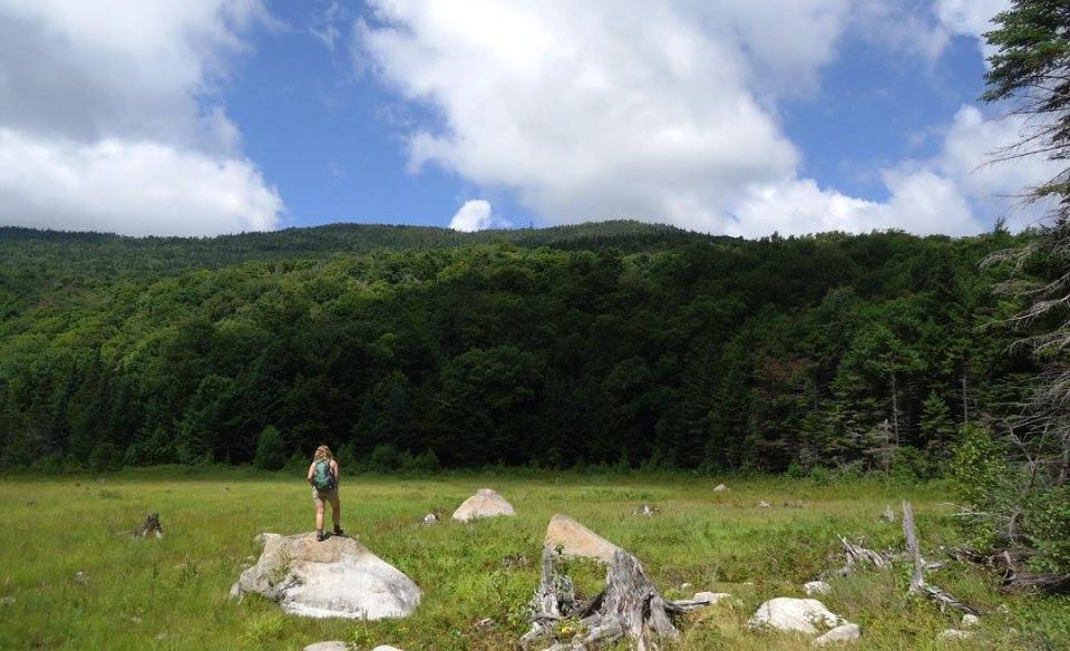
At 1.9 miles, you’ll come to an intersection. Stay straight to take a little side trip to a beaver meadow. This will only add a few minutes to your hike and is a perfect spot to relax for a minute before the final push to the summit. Across the meadow, you’ll see the tower atop the mountain and what you have left to climb. Stay right to continue to the summit. The remaining mileage to the summit is steep, gaining about 1,150 feet in elevation. There are a few switchbacks during this section, but it's still a moderately difficult climb. Wakely's summit is wooded; however, there is a fire tower with unobstructed 360-degree views. And about 80 yards before the summit, there is a helipad landing site which offers excellent views.
Wakely Mountain in winter
The last portion of Cedar River Road is not open in the winter. With the road closed, it adds a few miles of road walking or skiing to approach the trail. You will have an additional 4.6 miles, one way. While people do occasionally do that, be aware that you will have an extended day in the woods. Also, the trail itself will likely not be broken out. The upper portion of the trail is not recommended for cross-country skiing. If you decide to go, make sure you have the proper experience and gear, and be prepared for all winter conditions.
Experience more trails in Hamilton County
Does Wakely Mountain sound amazing, but a little more than you want to tackle right now? With hundreds of miles of trails, we can help you find the right hike in the big outdoors.
How to get there
From the intersection of Route 28 and Route 30 in Indian Lake, follow Route 28/30 toward Blue Mountain Lake. Continue for just over 2.25 miles to Cedar River Road on the left. Continue on Cedar River Road for about 12 miles to the trailhead on the right.


