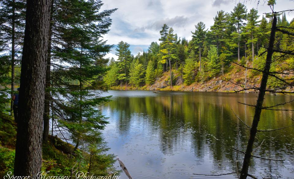
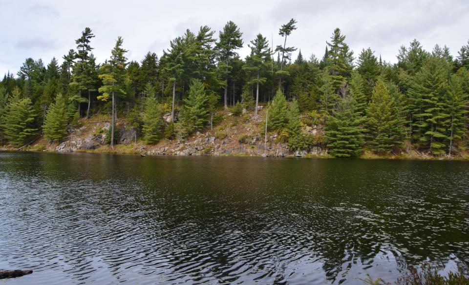
Lost Ponds in the Moose River Plains Wild Forest are some of the most scenic bodies of water in the region. The views of the shallow lake, distant hills, and craggy shoreline in the beautiful Adirondack backcountry can be enjoyed by hiking, paddling, and camping here.
Key takeaways
- Distance: 1.6 miles round trip
- Elevation gain: 150 feet
- Hike includes trail junctions, bridges, and unmarked trail
- Based on a hike to the southern portion of the pond
Hiking to Lost Ponds
This description is for the best access to the pond, which is from the old, unmarked access trail to a campsite.
The main Lost Ponds Trail starts by passing the yellow gate, following red trail markers and over a bridge. The trail then climbs gently until you reach an unmarked trail on your right at 0.4 miles just before reaching a clearing that's also to your right.
The herd path before old campsite #46 (clearing) is the Stillwater Trail. A bit past this area you'll cross Sumner Stream and come to a trail junction. The unmarked yet easy to follow trail on the left leads 0.2 miles to an old campsite with a picnic table overlooking Lost Ponds and then continues on a few hundred feet to a side trail that leads to the rough shore of the pond.
In the winter
This trail is not recommended in the winter as the Moose River Plains Wild Forest is a snowmobile corridor and not open to cars or trucks during the snowy season.
Experience more trails in Hamilton County
Looking to find some more trails to hike in Hamilton County? With hundreds of miles of trails, we can help you find more amazing hikes in the big outdoors.
Paddling
Lost Ponds are a good option for a paddle and camp spot, and they're not all that hard to access, especially since a cart can be used along most of the trail here to carry a canoe. Be sure to check out the narrows on the north end of the pond and the rock cliffs on the far side. The trails around the pond can be fun to explore while you are out paddling for the day.
Launching is right from the shoreline where convenient, and the water here is shallow with quite a few rocky areas.
Fishing
There is a population of native brook trout to fish here. These ponds are only about 10 feet deep and can be fished from shore just as easily as from a boat. A hook and worm are about all you will need for these ponds, but a Phoebe works well too.
Fish species: Brook trout, bullhead, perch
Special regulations: Always follow state fishing regulations and be sure to pick up a NYS Freshwater Fishing Guide at your local outfitters or regional DEC office.
How to get there
From the intersection of Route 28 and Limekiln Road in Inlet, follow Limekiln Road and turn left on Moose River Plains Road. Continue for 11.5 miles to the trailhead on the left. Take this left and drive the access road for an additional 0.2 miles to the trailhead. This access road is quite rough and should be driven very slowly. The turn into here is typically marked with a "Lost Ponds" wooden sign. The road goes to a yellow gate for the old road and two campsites (#44 & #45), plus a privy.


