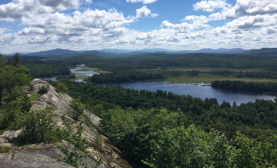
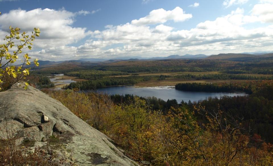
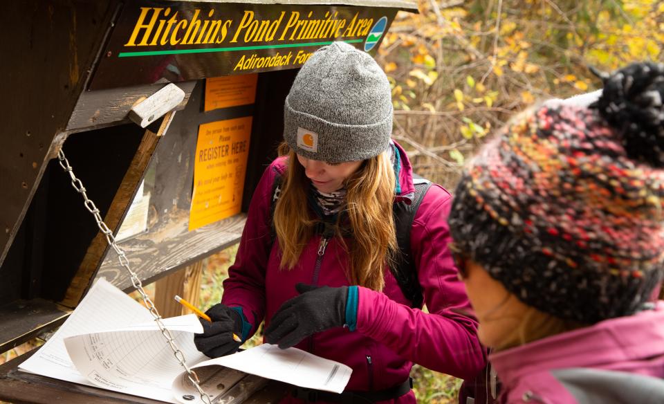
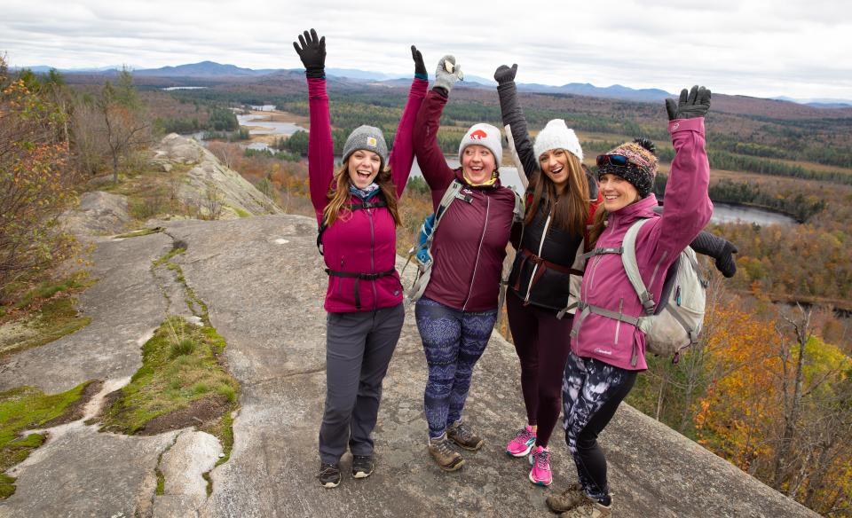
The hike to Lows Overlook (aka Lows Ridge or Hitchins Pond Overlook) ends in a stunning view from a summit cliff. Overlooking the breathtaking Bog River, many Wilderness Areas, and Lows Lake, the views here will leave you inspired to explore this area further.
Key takeaways
- Distance: 6.5 miles round trip
- Elevation gain: 620 feet
- Overlook elevation: 2,170 feet
- Hike includes a road walk and trail junctions
Hiking to Lows Overlook
This hike starts along a forest road. You may hike, bike, or ski this. The road is mostly flat and passes by what is called Hitchens Marsh on your left. This marsh is a massive expanse of land. The road comes to Lows Upper Dam at Hitchins Pond, which is a very scenic and historic location.
The trail to Lows Overlook (or Hitchins Pond Overlook/Lows Ridge, as it's sometimes called) is located on the right side of the road near the remnants of a couple buildings. No bikes are allowed on this trail; they must be left on the road. The trail is moderate and has one fairly steep section. The trail sweeps around the base and comes up the backside of the overlook along a long rock spine. To the northeast side of the spine there is a memorial to Abbot Augustus Low (d. 1912), a Brooklyn native who owned around 32,000 acres of land around the Bog River Flow.
Lows Overlook in the winter
The approach to this ridge would make for a good cross-country ski, but bear in mind that the final part is not skiable, and you will need to have snowshoes and/or microspikes. This is a long and isolating hike in the winter, so be prepared for all conditions.
Experience more trails
Does Lows Overlook/Ridge sound amazing, but a little more than you want to tackle right now? With hundreds of miles of trails, we can help find the right hike for you in the big outdoors.
How to get there
From Long Lake, follow Route 30 toward Tupper Lake. Continue for 13.0 miles to Route 421 on your right. Turn down 421 and continue for 6.5 miles to the old railroad station on Horseshoe Lake. Turn left on a gravel road once you've reached the end. Cross the railroad tracks on a secondary road and continue for 0.9 miles to a gated road on the left, park here away from the gate. You will have to hike, mountain bike, or ski to the trailhead for Lows Overlook.


