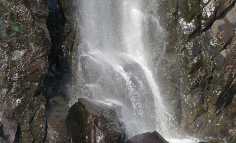
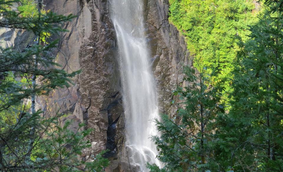
OK Slip Falls is one of the highest waterfalls in the Adirondacks. In the summer of 2014, a new trail to the falls opened, making this hidden gem accessible to the public for the first time. The spectacular waterfall has become an extremely popular hiking destination.
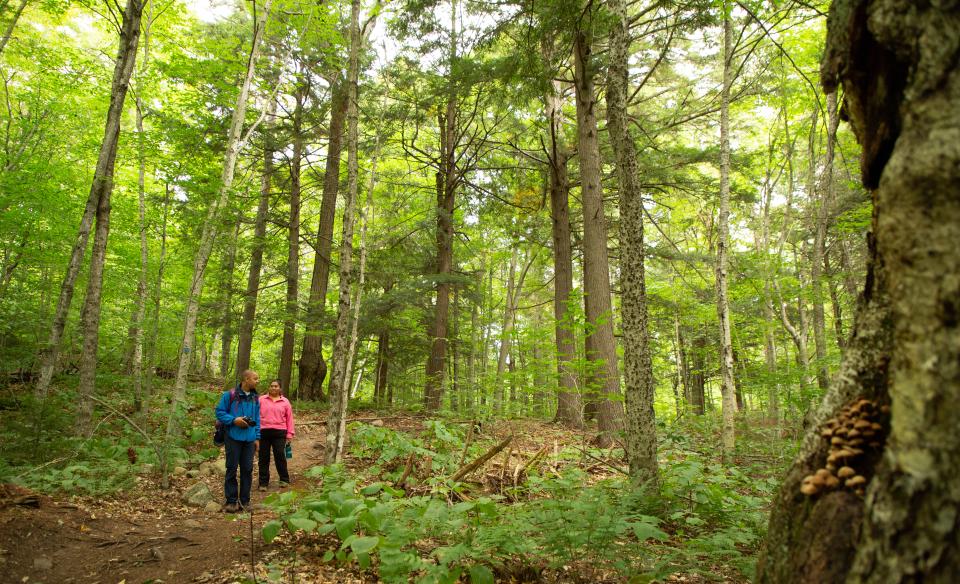
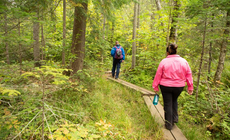
The forests along the trail are mostly deciduous and mixed deciduous-coniferous, with many large trees, including red maple, beech, birches, aspens, white pine, and eastern hemlock. There are lovely mosses, wildflowers, and fungi found along the trail. The area between North River and Indian Lake contains vast wetlands and moose are often observed in this region, so watch for moose tracks! You can also find many bird species along with amphibians and reptiles on the hike. Photographic opportunities abound!
Getting there
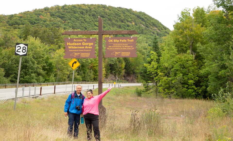
The parking area for OK Slip Falls, in the Hudson Gorge Wilderness Area, is located 7.5 miles east of the intersection of Routes 30 and 28 in Indian Lake on the south side of Route 28 at the end of a paved road that intersects the highway. There is a wooden sign for the Hudson Gorge Wilderness Area at the parking lot. If you are traveling from the east, the parking area is located 4.4 miles west after crossing the second railroad bed in North River along Route 28 as the highway leads up and away from the Hudson River. The trailhead is located on the north side of Route 28 two-tenths of a mile west of the parking area, so hikers will need to walk along the highway for two-tenths of a mile and cross the road to reach the trailhead. The wooden trail sign lists that this is the access to Ross, Whortleberry, and Big Bad Luck ponds in addition to OK Slip Falls.
By the numbers
-
Distance: 3 miles, one way. Adding the two-tenths of a mile walk from the parking area makes the round trip distance 6.4 miles. The trail continues eight-tenths of a mile past the falls and ends at the Hudson River. If this optional section is added, the round trip distance becomes 8 miles.
-
Elevation gain: 975 feet out-and-back from the overlook
Hiking
The first half-mile of the trail follows the existing route to Ross, Whortleberry, and Big Bad Luck ponds. After a half-mile, the trail to OK Slip Falls branches right. After an additional 1.5 miles, a dirt road is encountered. The trail continues left on the dirt road for a couple hundred feet before branching off to the right. The last mile is along what appears to be the remnants of an old dirt road. A sign shows the right hand turn that leads a short distance to the falls. You will hear the waterfall as you approach the sign. To continue on to the Hudson River, head left for eight-tenths of a mile.
OK Slip Falls is breathtaking and there are two lovely areas to view the waterfalls. The viewing areas are on the east side of a deep gorge, and the waterfall is viewed to the west. There is a hill to your back as you view the falls. Once the sun rises above the hill, the waterfalls are bathed in sunlight. If you are interested in photographing the falls, arriving during the morning works best, as the falls are shaded by afternoon (but still gorgeous even in shade!).
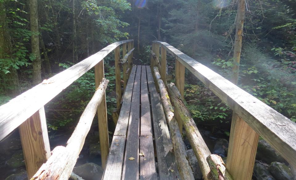
Optional eight-tenths of a mile segment to the Hudson River: This trail segment is much more strenuous. After leaving OK Slip Falls, the trail heads around the head of the gorge and drops steeply down to a wooden bridge over OK Slip Brook. From this location you can see the void where the water drops over the edge of the cliffs! There is a well-worn herd path a short distance along the brook to the head of the falls. Great care should be taken in this area with such dangerous vertical cliffs and slippery rocks. After crossing the bridge, the trail heads back up to the top of the gorge and continues toward the Hudson River. From the top of the gorge, it is nearly a 400-foot drop in elevation to the river. The trail uses switchbacks, which helps ease the hiking, but it is still strenuous to climb back up. You can hear the rapids on the Hudson River below as you approach this steep area. The trail ends at the confluence of OK Slip Brook and the Hudson River. If you hike a short distance to the left, there is a sandy beach and an area where rocks jut out into the Hudson River. It is a lovely place to rest and have a snack.
Snowshoeing
The trail to OK Slip Falls would be appropriate for a winter snowshoe hike. This popular trail will likely see a lot of hiker traffic even in winter. So you can probably count on a broken snow trail.
Find out more
Find out more with the blog post, The Trail That Led Us to OK Slip Falls.


