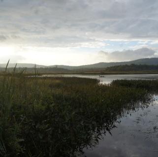
It was one of those days that looked like the weather was not going to cooperate with us, so we postponed our anticipated autumn summit hike. But it turned out we were wrong — can you believe it? So, instead of wallowing in our poor decision, we decided to go outside.
We changed our plans only slightly — we were still heading to the Indian Lake region, but instead of a mountain we decided on a scenic tour with several short hikes. The plan was to visit seven ponds along Moose River Plains Road, going from Indian Lake to Inlet, while capturing striking fall photos along the way.
Sprague Pond
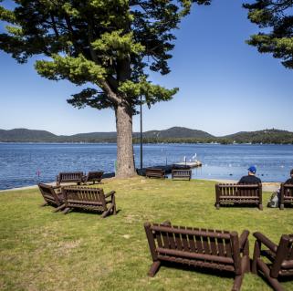
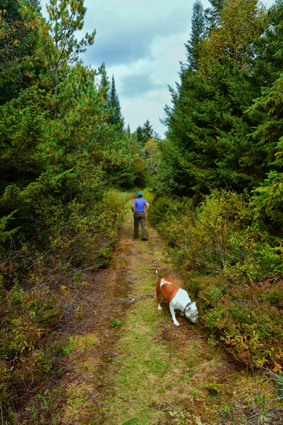
Sprague Pond was our first stop. While not quite in the Moose River Plains, Corenne had never visited this one and it had been some time for me. The Sprague Pond Trail is a simple 0.3-mile hike along an easy trail that's pretty flat and scenic. We first swung by the DEC fish ladder to check it out, and as we figured it was nearly dry with hardly a drop going over its waterlogged wooden structure. The pond came soon after as we emerged on its south side, looking out over the quiet waters to a massive white pine, which cast its shadow on us from afar. We would now hike back and move on toward our next destination.
Cedar River Flow
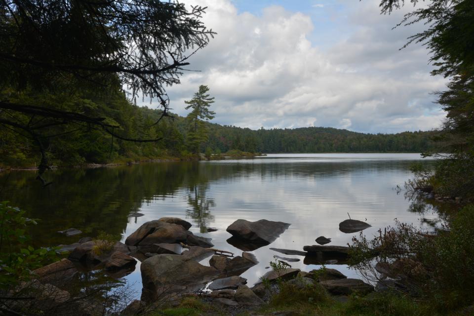
This massive flow is bottled up by a dam on the Cedar River and has a stellar view, as one could imagine. The campsite was still busy, with several RVs making a nest nearby. We didn't have to walk far to get a payoff here — all we had to do was get out of the car and walk 100 feet to the dam. A small loon, this year's hatchling, was playing and feeding nearby, repeatedly diving and reemerging hundreds of feet away, even as we posed no threat. In the distance we could see Blue Ridge and a small mound named Buck Mountain. The deep greens of 3,000 foot Payne Mountain loomed nearby, its hardwoods creating a sea of autumn colors.
We decided to mosey on and get to our next short hike.
Lost Ponds
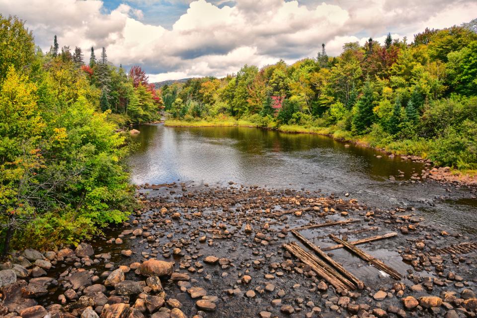
This one was a complete surprise to both of us. We figured we'd need to look long and hard for the trail into Lost Ponds, but to our surprise a DEC trailhead exists about 0.25 mile down a short side road. Had it really been that long since I was down this far along the road?
The trail started behind the typical, bright yellow DEC gate, and by the look of things it gets significant use. The trail unfolded before us with a slight climb before it delivered us to an odd intersection. An old DEC sign, barely readable, was etched with an arrow pointing straight: "1 mile to Lost Ponds." The trail to the left had the DEC trail markers, and the ponds were only 0.2 mile away, so we went left. The trail led us quickly to the shore of South Lost Pond at a campsite. It continued on and we were not prepared to explore too much, so we'd have to return someday soon to follow the other trail, which I believe leads to North Lost Pond. We hung around here for quite some time as its beauty and seclusion were awesome, but we knew we needed to put a hop in our steps to get in all we wanted for the day.
The shadows we getting longer as we drove down Moose River Plains Road.
Helldiver Pond
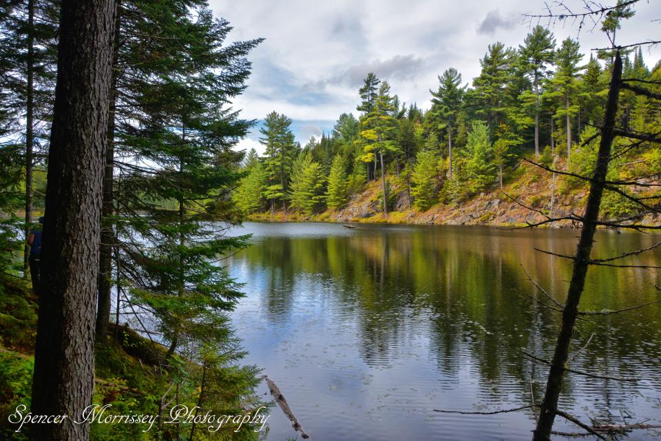
A helldiver is another name for a bird, or a grebe, which looks quite similar to a duck. It is also a WWII plane, but the bird makes more sense for the name of a pond. This trail is only 0.4 mile long and is open to everyone. Yes, it's a handicap accessible trail. Its well-groomed condition made for a very easy walk.
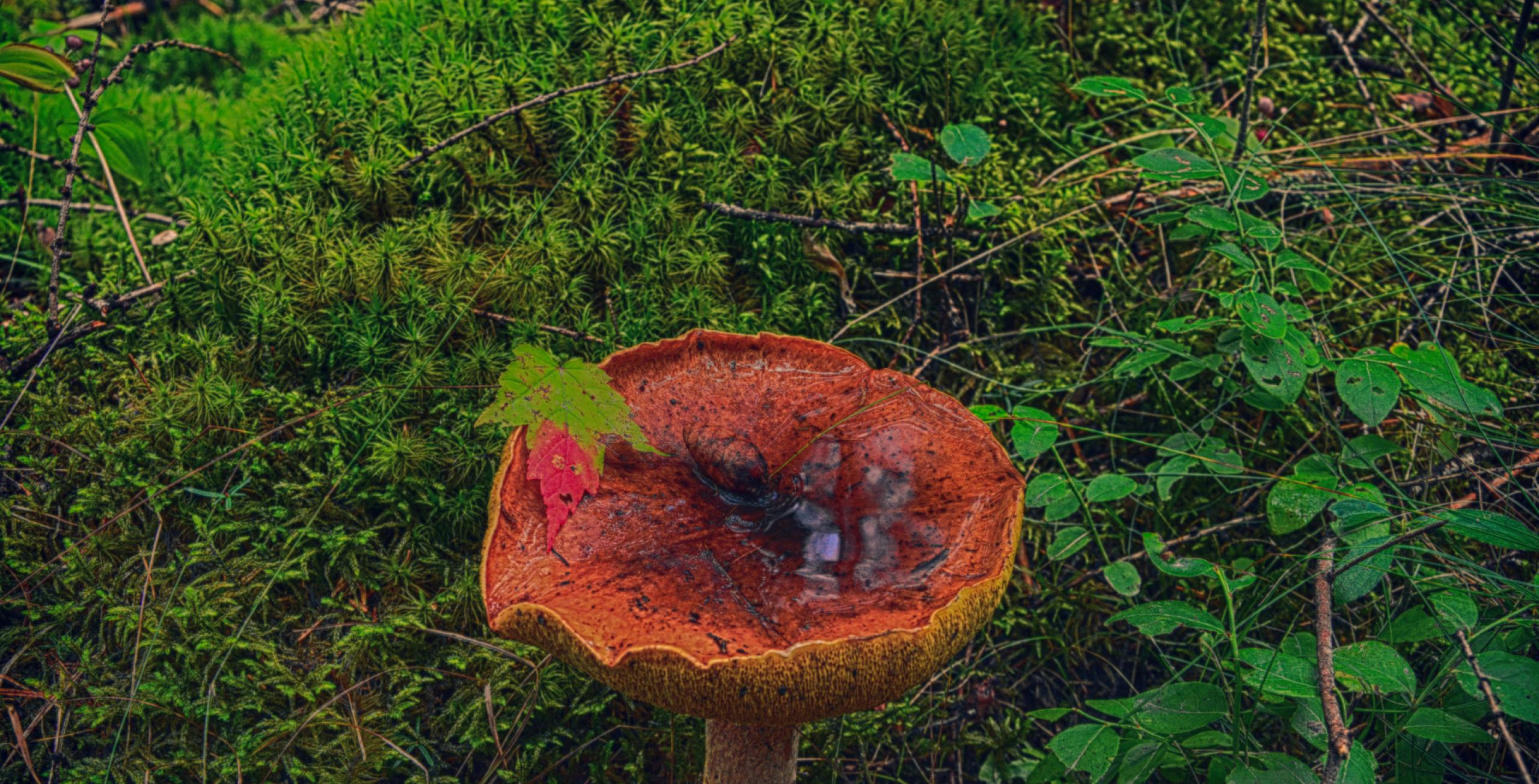
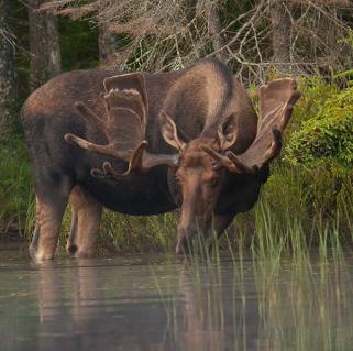
Helldiver Pond is a popular location for moose sightings early in the morning and later in the evening, but we were there midday so, as you probably guessed — no luck. The forest was green and lush, and the mushrooms growing through the thick matting of moss made for a wonderful little stroll. This 15-minute excursion put us back on track for a few more pond-visiting opportunities.
Icehouse Pond
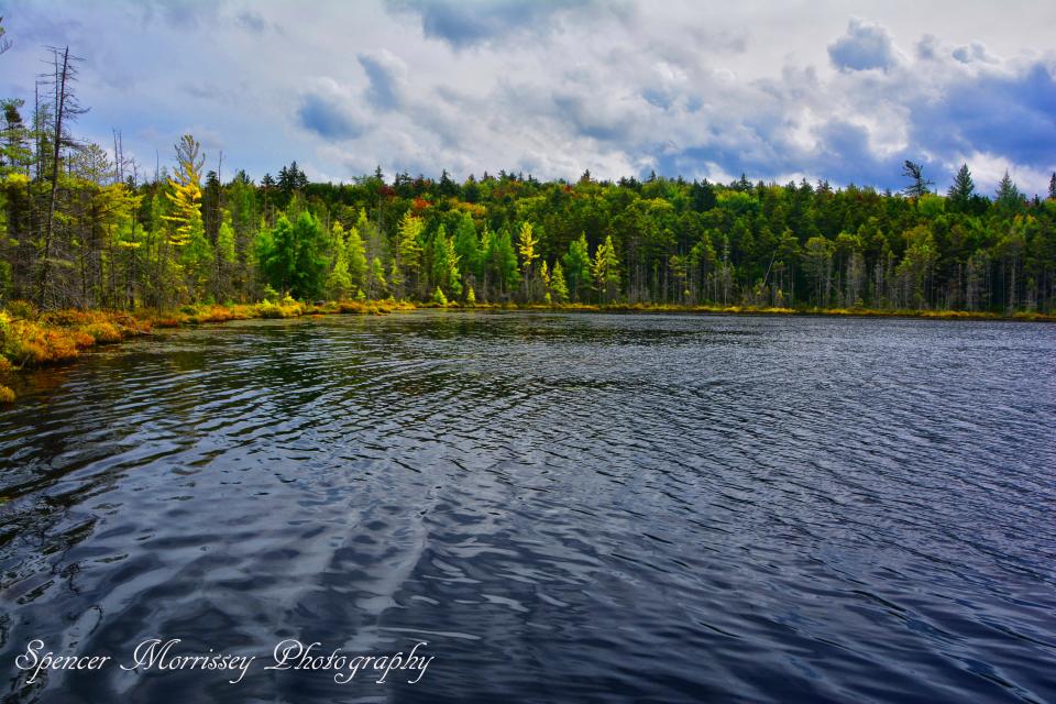
At roughly 0.4 mile, we were happy to see another handicap accessible hike in the region. It was well groomed and there was only one hill, which was short and a bit steep for a wheelchair, but there was a rest stop about halfway up. A peaceful camping spot on the shore was calling our name, and someone suggested "we should return one night for a moose watching binge." The fall colors were coming out on this small kettle hole pond, making it a wonderful fall sight.
I've driven by the next body of water several times, and after long hikes in the area I always avoided the short bushwhack down to it. Not today!
Fawn Lake
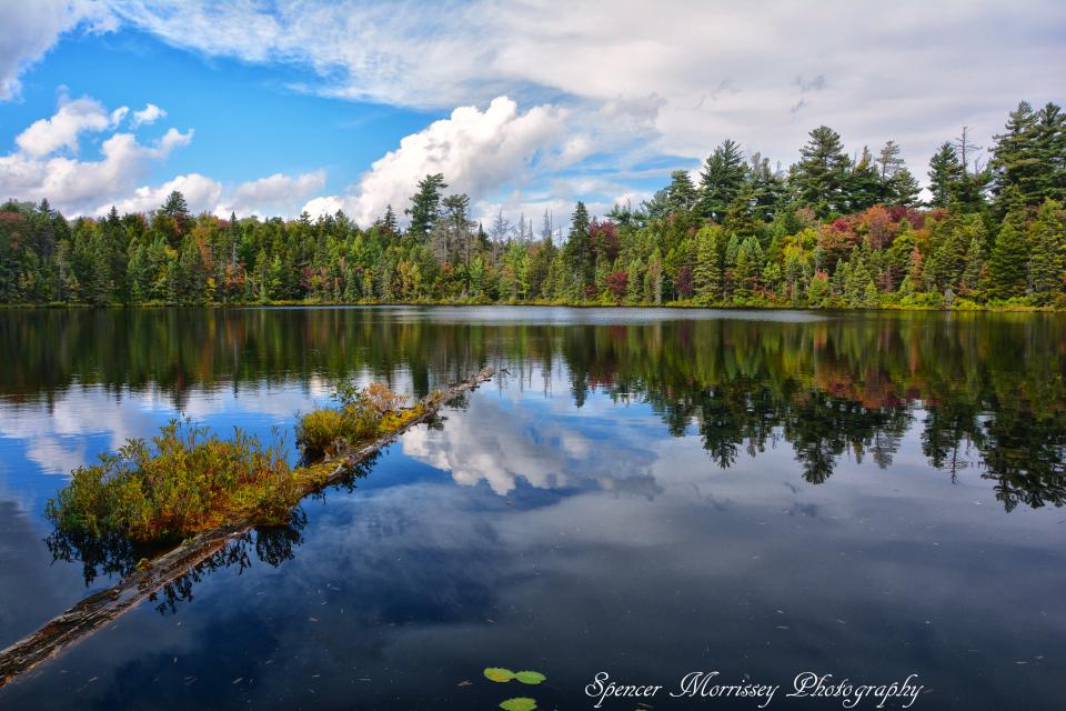
Located near the Inlet end of Moose River Plains Road lies this small finger lake at the base of a very steep hillside and Fawn Lake Mountain. We picked a decent spot to park and followed a faint path to the north shore. The lake is surprisingly shallow from what we could see, but it's scenic in its own delicate way. The shore was lined with a dense fern floor and the reflection of Fern Lake Mountain darkened the waters with a kaleidoscope of colors.
Our last photographic stop for the day would be a simple one, just outside Moose River Plains and much more in the busy hustle and bustle of fall in Inlet.
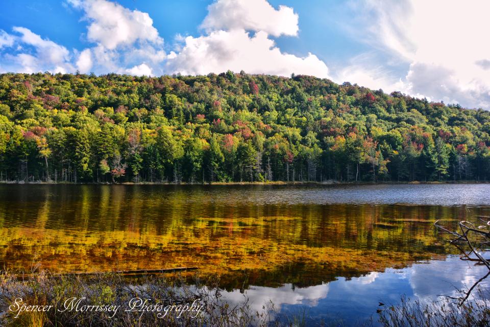
Limekiln Lake
The lake can still be accessible through the Limekiln Lake State Campground, even though the campsite is not officially open. We drove to the boat launch area, where the gate was locked just beyond, and even that campsite was inhabited for the weekend. We snapped a few pictures, and off we went to have dinner at Screamen' Eagle.
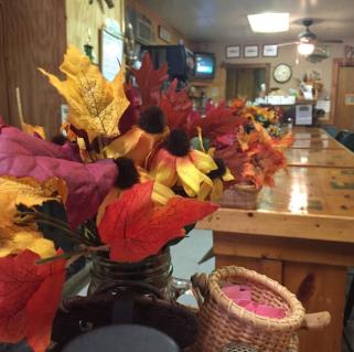
Pizza and wings were calling our name, and the 50 beers on tap also had a voice of their own and, honestly, who would we be if we didn't talk back? There are plenty of dining options in the region. Why not stay the weekend?
This week in related ADK news:

